Bimini Road
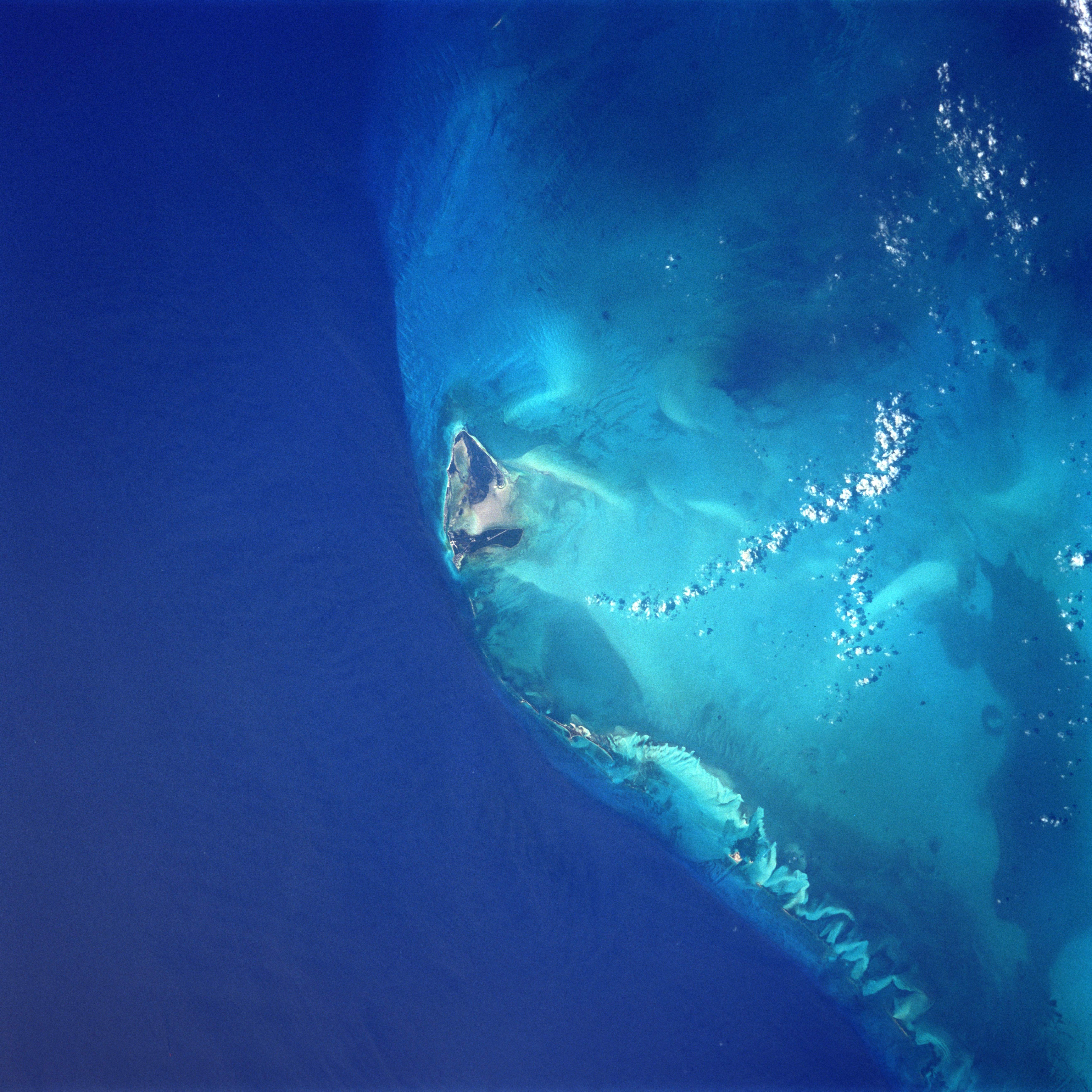
Photo: Original picture by NASA, Public domain, via Wikimedia Commons
The Bimini Road is a remarkable underwater rock formation located near North Bimini island in the Bahamas, consisting of a 0.8-kilometer (0.50-mile) linear arrangement of roughly rectangular limestone blocks. This northeast-southwest trending feature lies submerged in the shallow waters of the Caribbean, creating what appears to be an ancient roadway or wall beneath the waves. The formation's geometric appearance and regular block-like stones have captivated explorers and researchers since its discovery, with the limestone blocks displaying surprisingly uniform shapes and sizes. Today, the site remains accessible to divers and snorkelers, offering visitors a chance to swim above this enigmatic geological feature that continues to spark debate about its origins.
Timeline
The Bimini Road formation was first documented and brought to public attention by divers exploring the waters near North Bimini
Various underwater archaeological expeditions investigated the site, with researchers conducting detailed surveys of the limestone blocks
Marine geologists conducted comprehensive studies, concluding the formation resulted from natural limestone fracturing and erosion processes
What the Show Claims
- ›The Bimini Road underwater structure could be evidence of the lost city of Atlantis or an ancient advanced civilizationS17E02S21E01
- ›The precision-cut stones indicate extraterrestrial or lost human technologyS17E02S21E01
From the Transcripts
“Another was to be somewhere in the vicinity of the island of bimini in the bahamas. And the third one was to be in the area that we now know as the giza plateau in egypt.”
What Archaeology Says
Scientific investigation of the Bimini Road has involved marine geologists, underwater archaeologists, and structural analysts who have conducted detailed surveys of the formation. Researchers have examined the limestone blocks both underwater and through core sampling, finding that the rock composition matches the local bedrock geology of the region. The blocks show clear signs of natural weathering patterns and marine erosion consistent with long-term exposure to ocean currents and wave action.
The scientific consensus, supported by geological evidence, attributes the formation to natural processes involving the fracturing and erosion of limestone bedrock. The regular, block-like appearance results from the way limestone naturally breaks along joint planes when subjected to geological stress and marine weathering over thousands of years. Similar formations exist in other shallow marine environments where limestone bedrock is exposed to wave action and tidal forces.
While the geometric appearance is striking, detailed analysis has revealed no evidence of tool marks, mortar, or other indicators of human construction. The blocks remain in their natural positions as determined by geological fracturing patterns, rather than showing signs of deliberate placement or architectural design. However, the formation continues to attract researchers interested in understanding the specific geological processes that created such a visually compelling natural structure.
What remains genuinely intriguing is the precise mechanism by which the limestone achieved such uniform block-like shapes, though this falls within the realm of natural geological processes rather than requiring human or extraterrestrial intervention. The site serves as an excellent example of how natural forces can create formations that appear artificially constructed to the human eye.
Mysteries & Fun Facts
The formation consists of roughly rectangular limestone blocks arranged in a remarkably straight 0.8-kilometer line along the ocean floor
The site has been investigated by numerous underwater archaeological expeditions since the 1970s, making it one of the most studied underwater rock formations in the Caribbean
The limestone blocks show natural joint patterns typical of sedimentary rock formations that have been subjected to geological stress over long periods
Similar naturally occurring limestone formations can be found in other shallow marine environments around the world, though few are as visually striking as the Bimini Road
Planning a Visit
The Bimini Road is accessible to visitors through diving and snorkeling tours operating from North Bimini island, with the formation lying in relatively shallow waters suitable for recreational diving. Local dive operators offer guided tours to the site, and the clear Caribbean waters typically provide good visibility for underwater exploration.
Nassau, Bahamas, approximately 80 kilometers (50 miles) southeast of North Bimini
The optimal time to visit is during the dry season from December to April when weather conditions are most stable and water visibility is at its best. Calmer seas during this period make diving and snorkeling more comfortable and safer.
Featured Locations1 sites within this area
Bimini Road, North Bimini Island
BahamasRelated Sites
Palenque
Both sites involve claims about advanced ancient technologies and lost civilizations that challenge conventional archaeological interpretations
Antikythera (mechanism discovery site)
Like Bimini Road, this underwater discovery site has generated theories about ancient advanced knowledge and mysterious technologies
Plain of Jars
This mysterious archaeological site also features geometric stone arrangements that have sparked debates about their creators and purpose
Featured In2 episodes
Historical data sourced from Wikipedia